
GPS COPILOT TS
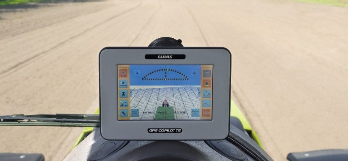
CLAAS offers a range of functionalities with the terminals GPS COPILOT and GPS COPILOT TS. The driver can guide the machine in straight parallel lines or along curved paths with a GPS precision of +/- 15 to 30 cm using EGNOS satellite signals. The system allows the full working width to be used while reducing overlap. Quality of work is improved and working time is reduced, irrespective of light and weather conditions.
Functions professionals value highly.
|

A-B Mode
In this operating mode you either log a first pass or will be guided in parallel along an existing path. All other passes will be performed at a constant distance (defined by the set working width) from the first track.

Contour Mode
The contour control system is normally used for headland turning or for tracking field boundaries. When you log a first pass, the system automatically calculates the field area.

Circle Mode
The circular tracking mode can be used for working in a circular pattern. You can configure the first track along a circular track and work towards either side of the track. All other passes will be performed at a constant distance (defined by the set working width) from the first track.
(Source – http://www.claas.com/cl-pw/en/products/tractor/xerion5000_4500/lenksysteme/gps_copilot/start,bpSite=71924,subject=konkord.html)


Submit a Comment